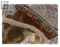
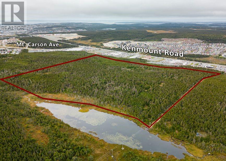
$1,750,000
MLS #1264399 · St. John's
543 Kenmount Road
- Type
- Vacant Land
- Agent
- Heather Guy
- Brokerage
- Royal LePage Atlantic Homestead
—
Active Listings
—
Avg. Home Price
—
Avg. Days on Market
—
NL Communities
Loading current MLS® properties…
MLS #1293237Listed December 11, 2025 · 286 days on market
St. John's
$1,895,000
Discover approximately 7.2 acres of land in a sought-after east end location, offering unparalleled convenience on the doorstep of St. John's International Airport, Stavanger Drive, and major highway access. Zoned CN, this property provides endless possibilities for commercial development, with the added advantage of previous approval for a Park and Fly. Potential dual access through Craig Dobbin Way and/or Portugal Cove Road enhances accessibility and development options, making this property a standout opportunity in a high-traffic area. Don’t miss out on this prime investment. *HST, permit costs, and any associated fees will be the responsibility of the purchaser. (id:66441)
Cost To Own
Homes in a hot market often sell over asking. Model your winning bid, then adjust the financing to see the real cash to close and monthly carrying cost — including default insurance when you put down under 20%.
$1,895,000
Amortization
Add your monthly carrying costs
Enter property-specific figures when known. They start at zero because they are not supplied reliably for every listing.
Estimated Monthly Mortgage
$9,034
Cash To Close
$379,000
Estimate only — final costs depend on lender approval, taxes, insurance, and closing costs.
Contact Felix
Speak with Felix about showing times, offer strategy, financing next steps, or whether this property fits your search.
Similar Listings
MLS #1264399 · St. John's
MLS #1301606 · St. John's
MLS #1277657 · St. John's
Elementary Schools
Roncalli Elementary
PublicÉcole des Grands-Vents
FrancophoneAnchor Academy
PrivateSecondary Schools
Murphy Centre
PrivateMacdonald Drive Junior High
PublicSt. Paul's Junior High
PublicStraight-line distance from this property. Proximity does not determine enrolment — confirm catchment areas with the Newfoundland and Labrador English School District. School list and grade levels from Statistics Canada's Open Database of Educational Facilities; some locations from OpenStreetMap contributors.
Straight-line distance from this property. Healthcare locations from Statistics Canada's Open Database of Healthcare Facilities; shops, pharmacies and filling stations from OpenStreetMap contributors.