$240,000
MLS #1298934 · Holyrood
16 Ridge Road
- Type
- Vacant Land
- Agent
- Andy Lewis
- Brokerage
- Royal LePage Vision Realty
 1 / 6
1 / 6Property Details
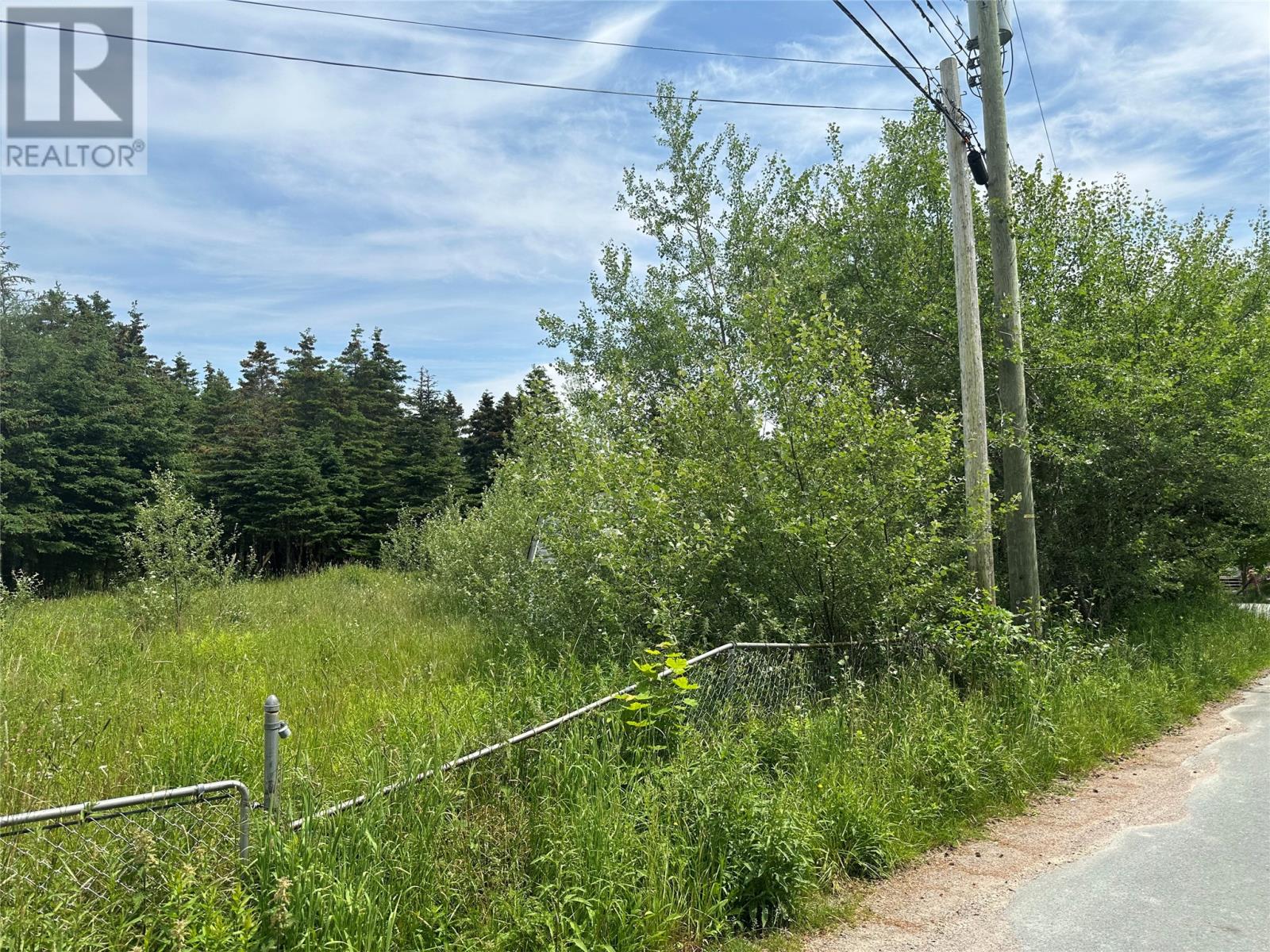
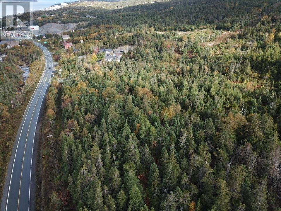
This prime commercial parcel in Holyrood represents a rare opportunity to secure 8 acres of high-potential land in one of the region’s most strategic growth corridors. Perfectly situated on Liam Hickey Drive, the property benefits from an enviable position just minutes away from high-traffic anchors like Tim Hortons, the local liquor store, and a busy gas bar, ensuring a steady stream of passing consumers. With its G (General) zoning, the land offers a versatile ""blank canvas"" for investors, supporting a wide range of commercial developments—from retail centers and professional offices to specialized service hubs. Boasting exceptional visibility and seamless accessibility, this expansive site is an ideal match for visionary businesses looking to capitalize on Holyrood’s expanding commercial landscape. (id:66441)
Cost To Own
Homes in a hot market often sell over asking. Model your winning bid, then adjust the financing to see the real cash to close and monthly carrying cost — including default insurance when you put down under 20%.
$249,900
Amortization
Estimated Monthly Cost
$2,157
Cash To Close
$12,495
Under 20% down requires CMHC default insurance, added to your loan. Estimate only — final costs depend on lender approval, taxes, insurance, and closing costs.
Contact Felix
Speak with Felix about showing times, offer strategy, financing next steps, or whether this property fits your search.
Similar Listings
MLS #1298934 · Holyrood
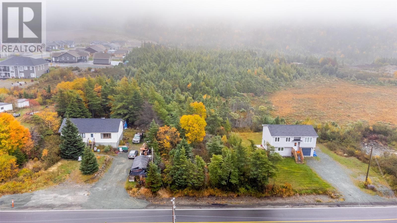
MLS #1290665 · Holyrood
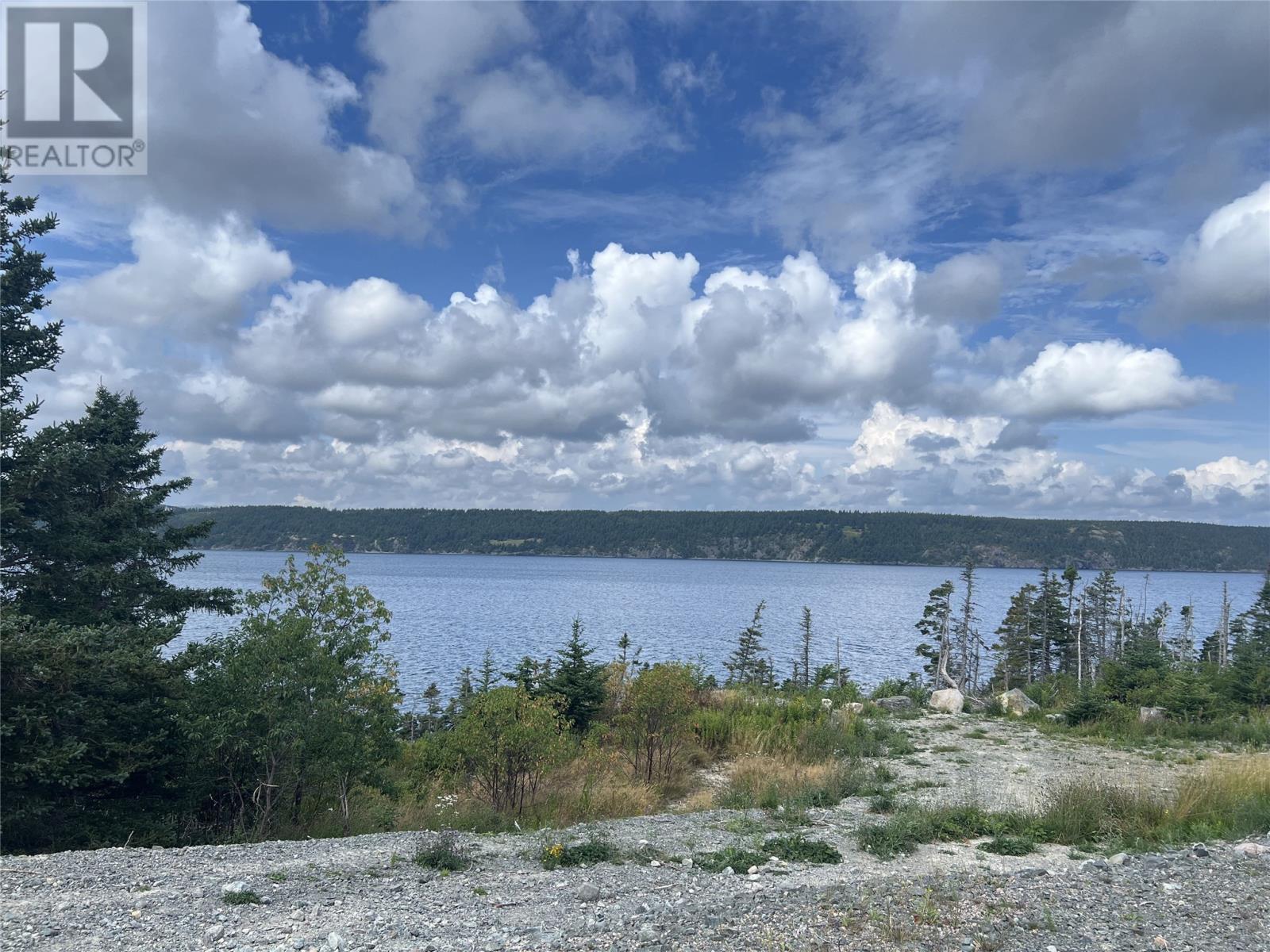
MLS #1289483 · Holyrood