


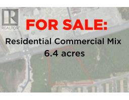
Vacant Land
$2,200,000
Mount Pearl · MLS® #1298303
0.0 Kenmount Road
168 days on market
Listed by RE/MAX Realty SpecialistsRhonda Caldwell
—
Active Listings
—
Avg. Home Price
—
Avg. Days on Market
—
NL Communities
Loading current MLS® properties…
MLS® #1273816Listed June 19, 2024 · 880 days on market
Mount Pearl
$1,599,900

13.3 acres of land located on Kenmount Road between Brant Drive and the Anglican Cemetery. Currently zoned Cemetery. Anticipating zoning to be commercial on Kenmount Road, with potential residential behind. Rezoning will be the responsibility of the purchaser. (id:66441)
Cost To Own
Homes in a hot market often sell over asking. Model your winning bid, then adjust the financing to see the real cash to close and monthly carrying cost — including default insurance when you put down under 20%.
$1,599,900
Amortization
Add your monthly carrying costs
Enter property-specific figures when known. They start at zero because they are not supplied reliably for every listing.
Estimated Monthly Mortgage
$7,627
Cash To Close
$319,980
Estimate only — final costs depend on lender approval, taxes, insurance, and closing costs.
Contact Felix
Speak with Felix about showing times, offer strategy, financing next steps, or whether this property fits your search.
Similar Listings
Mount Pearl · MLS® #1298303
168 days on market
Listed by RE/MAX Realty SpecialistsRhonda Caldwell

Mount Pearl · MLS® #1296410
208 days on market
Listed by Royal LePage Atlantic HomesteadAndrew Gosse

Mount Pearl · MLS® #1296409
209 days on market
Listed by Royal LePage Atlantic HomesteadAndrew Gosse
Request More Information
Ask about this home
Elementary Schools
Elizabeth Park Elementary
PublicFirst Baptist Academy
PrivateMorris Academy
PublicSecondary Schools
First Baptist Academy
PrivateMount Pearl Senior High
PublicO'Donel High School
PublicStraight-line distance from this property. Proximity does not determine enrolment — confirm catchment areas with the Newfoundland and Labrador English School District. School list and grade levels from Statistics Canada's Open Database of Educational Facilities; some locations from OpenStreetMap contributors.
Straight-line distance from this property. Healthcare locations from Statistics Canada's Open Database of Healthcare Facilities; shops, pharmacies and filling stations from OpenStreetMap contributors.